maps of Alicudi
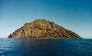
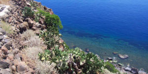
It is the archipelago’s most western island: about 26 miles distance from Lipari and 66 miles from Milazzo. The ancient name of Ericusa is due to the rich heather vegetation which covers the island.

The heather is part of the islanders history and life, being used to cover huts, and to make pipes with the roots.
Alicudi is a roundish cone, the top of which is the Filo dell’Arpa peak, and it has a 5.2 km square area.

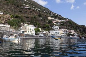
The inhabitants, Alicudari are 140 in number and all live off fishing and a little agriculture in the only populated centre, Alicudi port. Of volcanic origin, the island was formed mostly by the dead Montagnola volcano, formed approximately 150,000 years ago after explosive and effusive eruptions.

Between 100,000 and 70,000 years ago, another lava fall occurred in the south eastern part of the island. Alicudi too like the other Aeolian islands, must have suddenly sank.
The steep cliffs and the enormous stones fallen into the sea indicate so.
Alicudi ferry schedules
Routes and times updated in real time and refer to the current week.
From April to October, routes run much more frequently. We suggest you double-check the schedule a few days before your departure!
Service handled by Ok-ferry.com
Hotels, B&Bs, and Villas on Alicudi
Book online for immediate confirmation. 12.000+ hotel rooms booked through booking.com
© ALL RIGHT RESERVED


