maps of Panarea
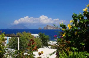
Panarea, anciently called Hycesia is the smallest of the Aeolian archipelago’s islands, it has a surface of only 3.4 km square and is 11.5 miles far from Lipari. Its 380 inhabitants named Panarioti, live in three districts: Ditella, S. Pietro, and Drauto. Panarea is surrounded by the islets of Basiluzzo, Dattilo, Bottaro, Spinazzola, and by the rocks of Lisca Bianca, Lisca Nera, the Panarelli and the Formiche.

Scholars believe that Panarea and the surrounding rocks and islets are the remains of a very ancient volcano, partially submerged in water in the interglacial periods.
In the presently emerging part it is possible to identify a single stratified volcano, on whose sides a number of secondary eruptive centres formed. Of the original volcano only the eastern part remains, because the western one sank several times, thus consistently reducing the primitive island’s surface.
The overall volcanic formation is believed to be the most ancient in respect of the other Aeolian islands emerging formations. From its volcanic origin, Panarea inherited interesting endogenous post-volcanic signs such as the thermal springs on Punta di Peppe e Maria and the innocuous Calcara fumaroles.
Panarea ferry schedules
Routes and times updated in real time and refer to the current week.
From April to October, routes run much more frequently. We suggest you double-check the schedule a few days before your departure!
Service handled by Ok-ferry.com
Hotels, B&Bs, and Villas on Panarea
© RIPRODUZIONE RISERVATA


